
Scientist of the Day - Ferdinand von Richthofen

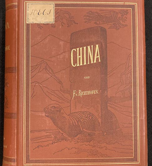
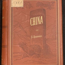
Front cover of text volume 1 of China: Ergebnisse eigener Reisen und darauf gegründeter Studien, by Ferdinand von Richthofen, 1877-1912 (Linda Hall Library)
Ferdinand von Richthofen, a German geographer, was born May 5, 1833, in Carlsruhe, in what was then Prussian Silesia. He studied medicine at Breslau and Berlin, went on a German expedition to Indonesia in 1860, and then spent 6 years in California, before returning to Germany and turning himself into a geographer.
.jpg#/media/File:Ferdinand_von_Richthofen_-_Ernst_Milster_Nachfolger,_Hermann_Joop_-_btv1b84510245_(1_of_2).jpg)
Portrait of Ferdinand von Richthofen, undated photograph (Wikimedia commons)
Geography was a poorly defined discipline until the 1830s in Germany. Ptolemy had called his gazetteer of the 2nd century A.D., Geographia, but in the time since, geography was confused with cartography, geology, and history, and did not have its own separate identity. Historians of geography maintain that the three founders of modern geography were all 19th-century Germans: Alexander von Humboldt, Carl Ritter, and Ferdinand von Richthofen.

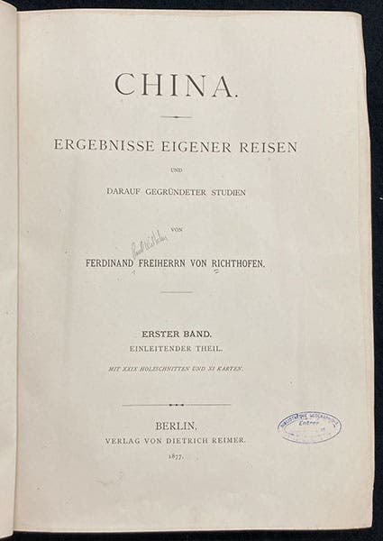
Title page of text volume 1, China: Ergebnisse eigener Reisen und darauf gegründeter Studien, by Ferdinand von Richthofen, 1877-1912 (Linda Hall Library)
I don't know much about Ritter, but I know quite a bit about Humboldt, who had a rather grand vision as to what a "science of the Earth" should be. It should above all be quantitative; the geographer should measure everything – longitude, latitude, air pressure, humidity, blueness of the sky, soil acidity – the list went on and on. A Humboldtian geographer had to be astronomer, geologist, geodesist, climatologist, meteorologist, botanist, zoologist, and linguist, making geography a kind of mother science

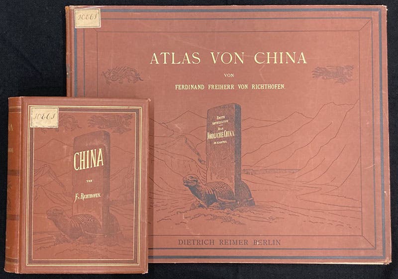
Front cover of atlas volume 1, with text volume 1 included for scale, China: Ergebnisse eigener Reisen und darauf gegründeter Studien, by Ferdinand von Richthofen, 1877-1912 (Linda Hall Library)
Von Richthofen had a more limited view of geography. It was first and foremost concerned with the lay of the land, describing the physical features of the landscape and how they interacted with each other. It was also a human science, since inhabitants were inseparable from the land on which they lived; humans were shaped by that landscape, and in turn reshaped it.

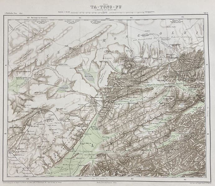
Topogaphic map of Ta-Tung-Fu, hand-colored engraving in China: Ergebnisse eigener Reisen und darauf gegründeter Studien, by Ferdinand von Richthofen, Atlas vol. 1, plate 13, 1877-1912 (Linda Hall Library)

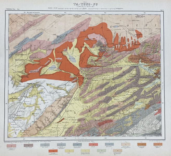
Geological map of Ta-Tung-Fu, hand-colored engraving in China: Ergebnisse eigener Reisen und darauf gegründeter Studien, by Ferdinand von Richthofen, Atlas vol. 1, plate 14, 1877-1912 (Linda Hall Library)
Von Richthofen really defined geography by example, and that example was his multi-volume study of China, the first volume of which appeared in 1877. It was called: China: Ergebnisse eigener Reisen und darauf gegründeter Studien (China: Results of my own Travels and Studies Based upon Them). It would eventually comprise 5 quarto volumes of text and 2 extremely large folio atlas volumes. Surprisingly, our Library has the complete set. Von Richthofen himself published only two text volumes and one atlas volume; the other three volumes appeared after his death in 1905.

Detail of the embossed stamp on the red cloth cover of Atlas volume 1 of China: Ergebnisse eigener Reisen und darauf gegründeter Studien, by Ferdinand von Richthofen, 1877-1912 (Linda Hall Library)
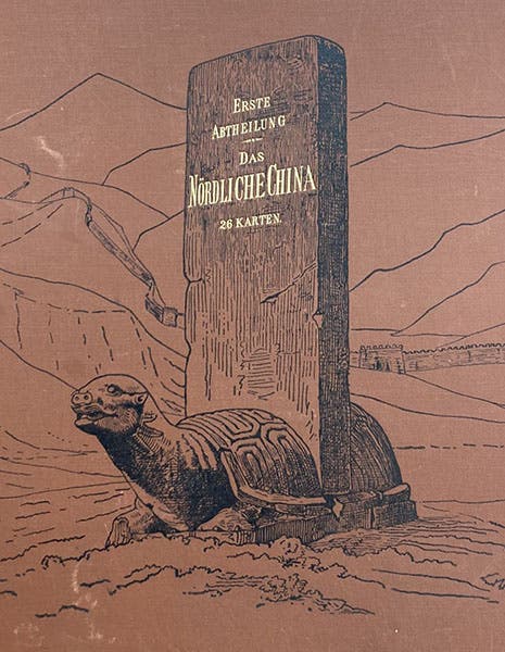
The set is just beautiful, and the main purpose of this post is to call attention to it. I certainly never learned about it in my coursework or research, and only stumbled across it by accident on the flat folio shelves in the library annex. Even if you never open a volume, you will be impressed, as the bindings are gorgeous (first, fourth, and seventh images).
I didn't make much headway with the text volumes – reading about Chinese geography in German is not my forte – but I could appreciate the maps in the atlas volumes. Each opening has a topographic map of a region on the left and a geological map of the same region on the right. We show the maps for Ta-Tung-Fu, with the topographic map first (fifth image). In the geological map, the large terracotta-colored area is basalt, or so the legend below tells us (sixth image). All of the maps are beautifully drawn and colored. But the volumes are not something you hold on your lap.

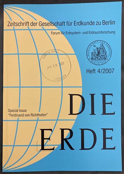
The paper cover of the fourth 2007 issue of Die Erde, a German geographical journal, a special issue honoring the 100h anniversary of the death of Ferdinand von Richthofen (Linda Hall Library)
In 2007, the German geographical journal Die Erde published a special issue honoring the 100th anniversary of the death of von Richthofen; I found the articles very useful. These articles have been cited by Wikipedia and others, but the links no longer work. I remind readers that our library has paper copies of many specialized journals like Die Erde, and the link between eye and printed paper is a link that never goes astray (eighth image).
William B. Ashworth, Jr., Consultant for the History of Science, Linda Hall Library and Associate Professor emeritus, Department of History, University of Missouri-Kansas City. Comments or corrections are welcome; please direct to ashworthw@umkc.edu.

![The path of the third comet of 1618 from Libra to Bootes, Nov. 26 – Dec. 20, detail of bottom right, large folding engraved plate, in De tribus cometis anni M.DC.XVIII: Disputatio astronomica, by [Orazio Grassi], 1619 (Linda Hall Library)](https://assets-us-01.kc-usercontent.com:443/9dd25524-761a-000d-d79f-86a5086d4774/7fb58186-1a8b-4397-93e4-180a3606477b/Grassi%2011.jpg?w=210&h=210&auto=format&fit=crop)
