
Interactive Map
For centuries, the narrow Isthmus of Panama seemed an ideal place to connect the Atlantic and Pacific Oceans. A French attempt at a ship canal in the late 19th century succumbed to tropical disease and financial problems. The U.S. took over the monumental challenge in 1904, opening the 50-mile-long Panama Canal 10 years later on August 15, 1914. In the 100 years since, more than 1,000,000 ships have passed through the Panama Canal.

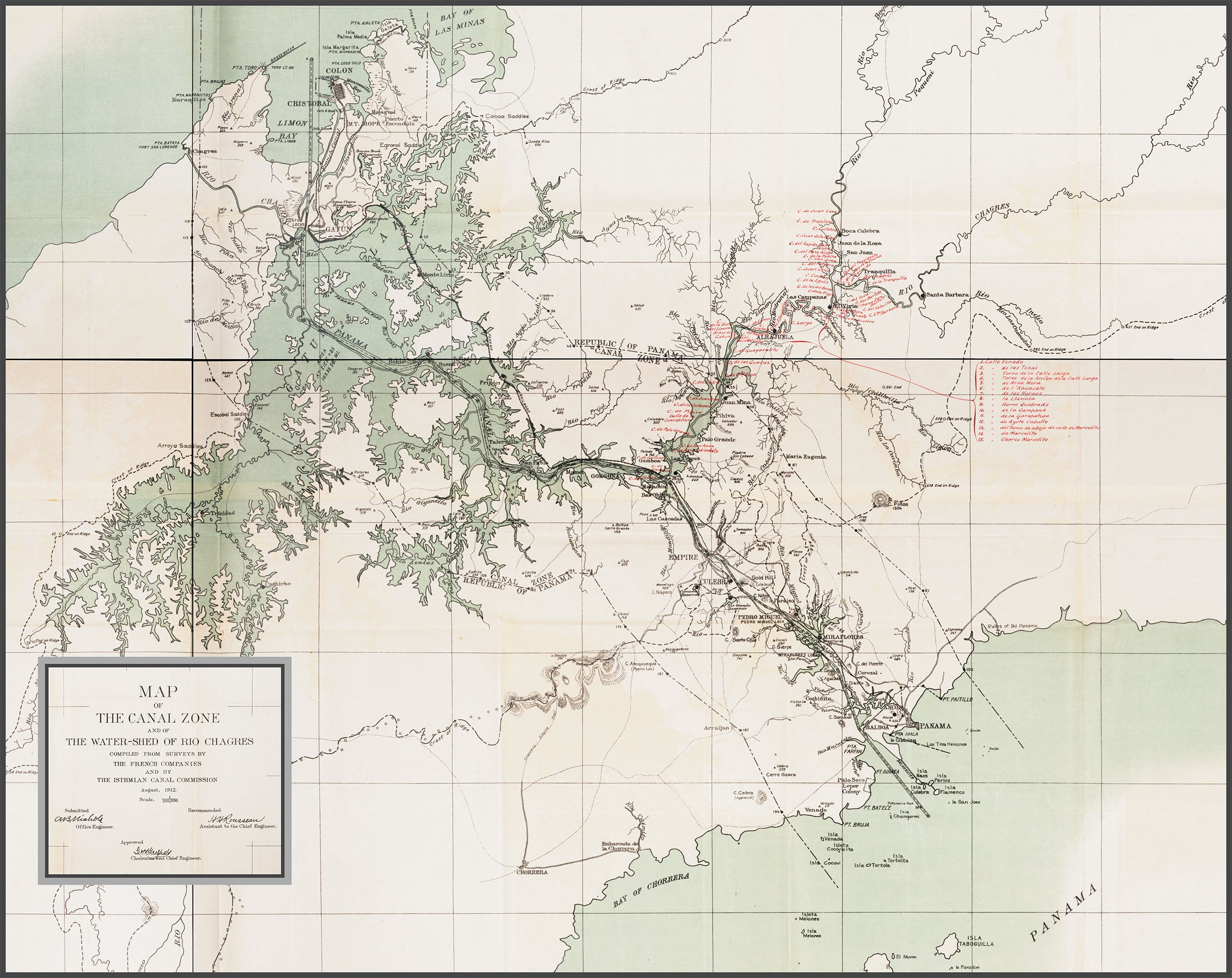
Map source: Annual Report of the Isthmian Canal Commission for the Year Ending. Washington: G.P.O., Maps and Diagrams, 1912, plate 96.